texas county map __ Texas, the second-largest state in the United States, is a vast and diverse region known for its expansive landscapes, vibrant cities, and unique cultural heritage. To truly grasp the diversity and complexity of this Lone Star State, one must delve into the intricacies of its counties. A Texas county map serves as a visual guide, offering a captivating journey through the varied terrains, historical landmarks, and distinct characteristics that define each county.
The Mosaic of Texas Counties:
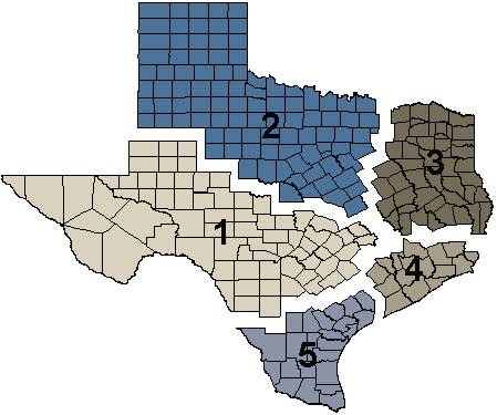
Texas is divided into 254 counties, each with its own story to tell. From the bustling urban centers to the tranquil rural landscapes, these counties collectively paint a rich mosaic that reflects the state’s historical, cultural, and geographical tapestry. A Texas county map is not just a navigational tool; it is a gateway to understanding the unique identity of each region.
Urban Centers and Metropolitan Hubs:
Major metropolitan areas such as Houston, Dallas, San Antonio, and Austin stand out prominently on the Texas county map. These urban centers serve as economic powerhouses, cultural hubs, and melting pots of diversity. Harris County, home to Houston, is not only the most populous county in the state but also a key player in the global energy industry. Travis County, where the capital city of Austin is located, is known for its vibrant music scene and technological innovation.
Historical Significance:
Beyond the urban sprawl, the Texas county map unfolds a narrative of historical significance. Counties like Bexar, where San Antonio resides, boast a rich colonial history, with the famous Alamo standing as a testament to the state’s struggle for independence. In Gonzales County, the “Come and Take It” cannon symbolizes the Texan spirit during the early days of the Texas Revolution. Exploring a Texas county map allows history enthusiasts to trace the footsteps of early settlers and pioneers.
Geographical Diversity:
Texas is renowned for its diverse landscapes, ranging from the Gulf Coast to the Panhandle Plains and the Big Bend region. A Texas county map reveals the topographical variations, with coastal counties like Galveston offering sandy beaches and bayous, while West Texas counties showcase vast deserts and breathtaking canyons. Each county contributes to the state’s ecological diversity, making Texas a haven for nature enthusiasts.
Cultural Heritage:
The cultural richness of Texas is vividly portrayed on a county map. South Texas counties, influenced by Mexican and Spanish heritage, celebrate traditions like rodeos, fiestas, and vibrant folk art. The German and Czech influences in central Texas counties are evident in the architecture, cuisine, and annual festivals. Exploring the state through its counties provides a glimpse into the unique cultural blends that have shaped Texas over the centuries.
Conclusion:
A Texas county map serves as a captivating gateway to the heart of the Lone Star State. Whether one is interested in the hustle and bustle of urban life, the echoes of historical events, the diverse landscapes, or the cultural amalgamation that defines Texas, each county contributes a unique chapter to the overall narrative. As you navigate through the interconnected web of Texas counties, you embark on a journey that unveils the essence of this vast and multifaceted state.